
Geospatial Technology Quiz-6
Difficulty Level: Easy
10 Questions
4 Plays
Popular Questions InGeospatial Technology Quiz-6
1
Which overlay will be done with cell-by-cell process?
2
Which Spatial analysis tool uses Triangle by Triangle method?
3
Which part of Geospatial Technology include Drones?
4
In which band of EMR the flooded areas will reflect maximum?
5
What is the range of high spatial resolution remote sensing?
6
Which of the following Space Agency owns Copernicus Sentinel Satellite?
7
Identify the major difference between Satellite images and Aerial photo
8
What is a Satellite’s swath?
9
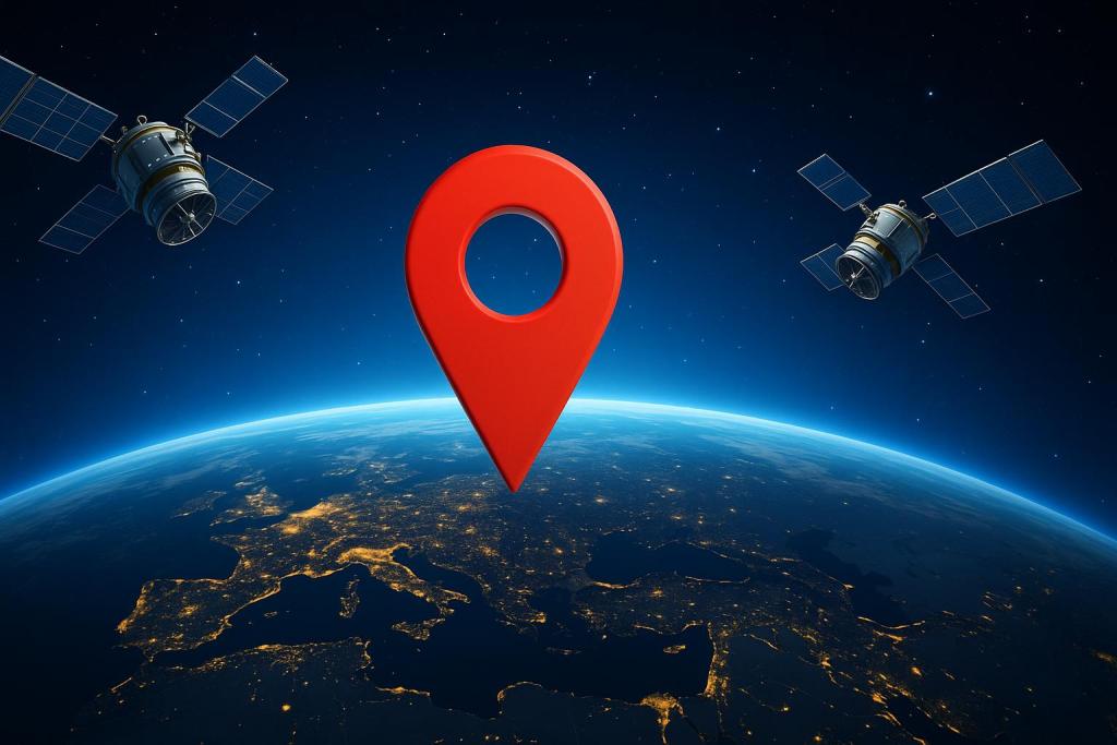
Which Geospatial Technology can help in knowing the precise location of affected areas?
10
Identify the type of topological error in this figure.

Similar Quizzes

10 Qs4 Plays
Geospatial Technology Quiz-1

10 Qs4 Plays
Artificial Satellites Quiz
ssarthaks4

10 Qs4 Plays
The Planet Patrol Quiz
RRyan

10 Qs3 Plays
AstroTech Trivia
RRyan

10 Qs3 Plays
Space Trivia
ssarthaks6
15 Qs3 Plays
Types of Satellites Quiz
ssarthaks4
10 Qs3 Plays
Satellite and GPS Quiz
RRyan

10 Qs3 Plays
Test Your GIS Knowledge!
SSarthaks1

10 Qs3 Plays
The Earth
SSarthaks2

10 Qs2 Plays
Space Mission Trivia
RRyan

10 Qs1 Plays
Geospatial Technology Quiz-5

10 Qs0 Plays